In an era where weather patterns are increasingly unpredictable, understanding severe thunderstorm warnings is crucial for safety and preparedness. These alerts, issued by meteorological agencies worldwide, signal imminent threats from intense storms capable of producing damaging winds, large hail, and heavy rainfall. This article delves into the definition, criteria, issuance processes, and essential safety measures associated with severe thunderstorm warnings, empowering readers to respond effectively and minimize risks.
Understanding Severe Thunderstorm Warnings
A severe thunderstorm warning is a critical alert indicating that a thunderstorm has been detected or observed, posing immediate dangers to life and property in specific areas. Unlike a watch, which suggests potential conditions for severe weather, a warning means the threat is active and expected to impact the warned region typically within an hour. These warnings are triggered by data from Doppler weather radar, reports from trained spotters, or public observations, highlighting storms with high winds, large hail, or torrential rain that could lead to flooding.
At their core, severe thunderstorms differ from ordinary ones due to their intensity. They can generate straight-line winds exceeding 58 mph, hailstones of at least 1 inch in diameter, and even spawn tornadoes without prior notice. This escalation turns a routine storm into a hazardous event, capable of uprooting trees, damaging structures, and causing power outages. For instance, the straight-line winds, often mistaken for tornado damage, can span wider areas, affecting entire communities rather than narrow paths.
Globally, while criteria vary, the emphasis is on protecting populations from these multifaceted threats, including lightning strikes and hydrological impacts like flash flooding. Recognizing the signs—such as dark, rotating clouds or sudden wind shifts—can aid in personal vigilance, bridging the gap between official warnings and real-time awareness.
Criteria and Issuance Processes
Building on the foundational understanding, the specific criteria for issuing a severe thunderstorm warning ensure targeted and timely alerts. In the United States, the National Weather Service (NWS) defines severity by hail of 1 inch or larger, wind gusts of 58 mph or more, or the presence of a tornado. This threshold was updated in 2010 from 0.75 inches for hail, based on studies showing minimal damage below the new size, reducing public complacency from over-issuance.
The issuance process involves sophisticated technology like Doppler radar for detecting storm rotation and wind speeds, integrated with software such as WarnGen in the Advanced Weather Interactive Processing System (AWIPS). Local NWS offices then disseminate warnings via multiple channels: NOAA Weather Radio, internet alerts, media broadcasts, and even the Emergency Alert System for severe cases, including Wireless Emergency Alerts to mobile devices.
Internationally, agencies like Environment Canada incorporate additional factors, such as high rainfall rates that could trigger flooding. If radar detects strong rotation suggesting a tornado, a tornado warning may replace or accompany the severe thunderstorm warning, escalating the response. This interconnected system ensures warnings are not isolated but part of a broader severe weather monitoring framework, adapting to regional climates and risks for optimal public safety.
Safety Measures and Preparedness
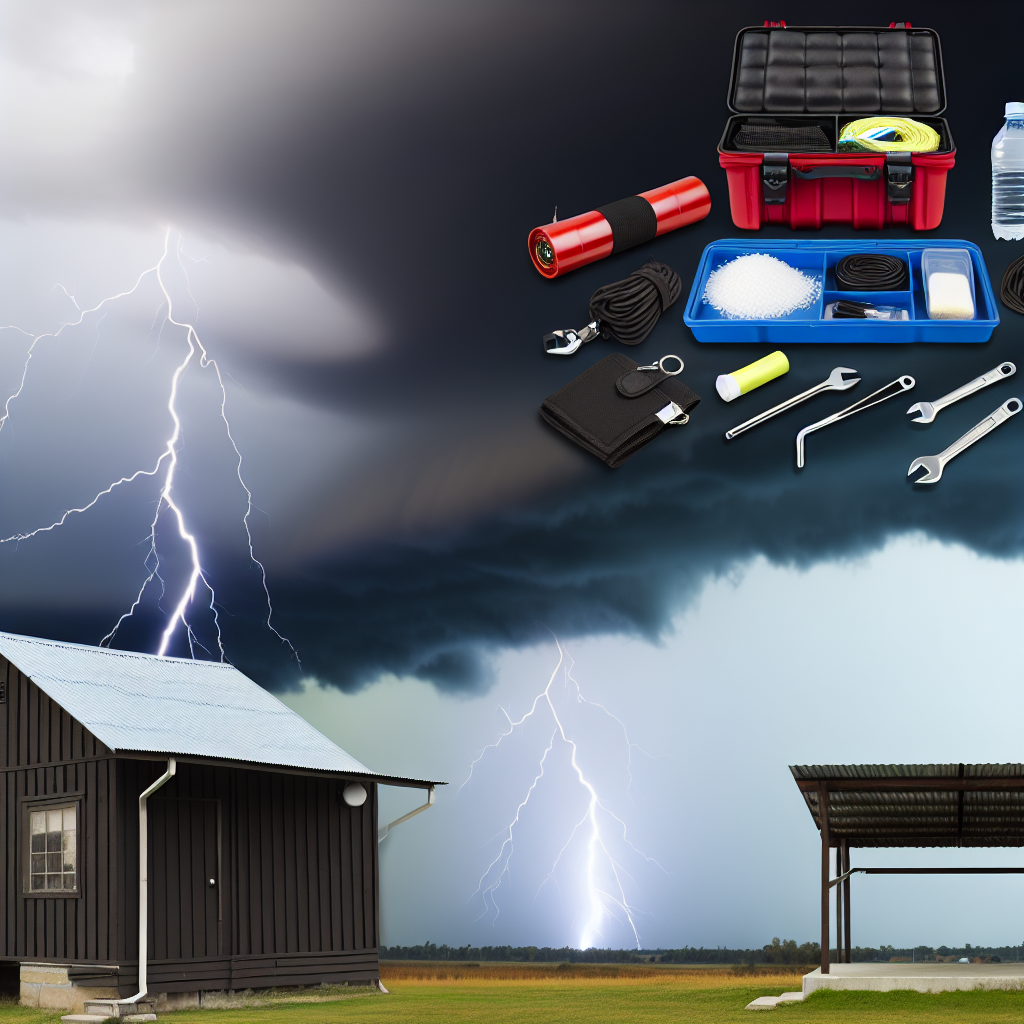
With a clear grasp of warnings and their criteria, implementing effective safety measures becomes the next logical step in mitigating thunderstorm impacts. Preparation starts with creating an emergency plan: identify safe shelters like interior rooms on the lowest floor, away from windows, to avoid flying debris from high winds or hail. Stocking essentials such as flashlights, batteries, and non-perishable food ensures resilience during potential power outages or isolation.
During a warning, immediate actions include seeking shelter indoors, avoiding electrical appliances to prevent lightning-related injuries, and staying informed through reliable sources like weather apps or radios. For those outdoors, finding low ground away from trees and water bodies reduces risks from winds and flooding. Post-storm, assess surroundings for hazards like downed power lines before venturing out.
Long-term preparedness involves community education and infrastructure improvements, such as reinforced buildings in storm-prone areas. By integrating personal vigilance with official alerts, individuals can significantly lower injury risks—statistics show that prompt responses to warnings have saved countless lives, underscoring the value of proactive measures in severe weather scenarios.
In summary, severe thunderstorm warnings serve as vital safeguards against the destructive forces of intense storms, encompassing detection, precise criteria, and rapid dissemination to protect communities. By understanding these alerts and adopting thorough preparedness strategies, readers can navigate these threats with confidence. Ultimately, staying informed and proactive not only minimizes damage but also fosters resilience in the face of nature’s fury—empowering everyone to weather the storm safely.